Kakadu & Top End
Kakadu Circle No. 1 — 3 weeks in May
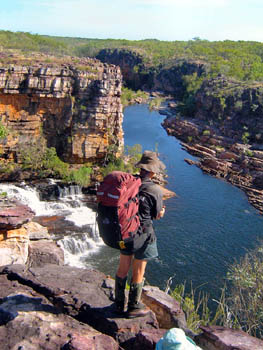
- No one else can take you to Twin Falls before the roads are open.
- This trek is the only way to see many wonderful creeks, gorges and Aboriginal art sites hidden deep within the heart of Kakadu.
- Spectacular views. We hike to some of the most spectacular view points in Kakadu.
- Enjoy swim after swim in clear tropical pools, pure enough to drink.
- Relax! This trek runs at a more leisurely pace than most of our others. There will be times when you can drop your pack and climb up for a view or simply relax by a pool as you soak up the sights and sounds around you.
- A helicopter food drop means you only need to carry food for half the trek at a time.
- A favourite. This was the hike Walkabouts owner Russell Willis chose in 2006 to celebrate our first 20 years.
Pictures say more than words. Every photo on this page was taken on one of our May Kakadu Circle trips. Look at the pictures below for an idea of what you'll be doing and what you'll see if you join us on this amazing adventure.
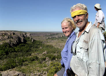
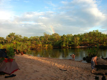
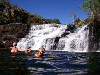
First Half — Koolpin to Twin
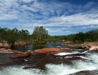
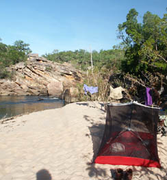
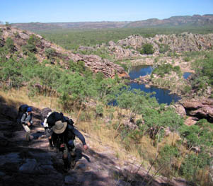
Our trek begins in southern Kakadu and takes us through spectacular Koolpin Gorge (Jarrangbarnmi) with its many waterfalls and Aboriginal art sites. We hike along Koolpin Creek and its tributaries as we head north and east for the next several days.
This part of the walk takes us through Budjalang or Sickness Country, a very important area for the Aboriginal traditional owners.
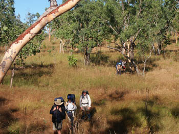
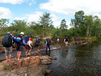
As we near the headwaters of one of the Koolpin tributaries, we turn east and hike through a grassy valley, over a very low pass and down to Twin Falls Creek. At this time of year, crossing the creek requires a shallow wade.
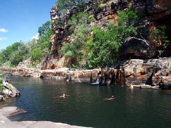
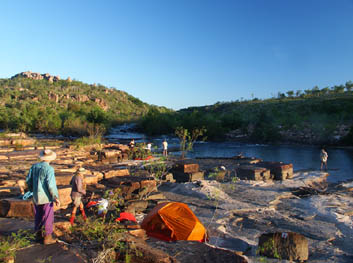
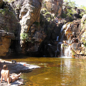
Our trek takes us downstream along Twin Falls Creek past the Amphitheatre Falls shown earlier on this page. For the next seven kilometres, we are in the Upper Twin Falls Gorge. We cross the creek several times, stopping for swims at some of the many pools. Later in the year, when the roads are open, we have to camp well back from Twin Falls (known as Gungkurdal to the local Aboriginal people), but with the roads still closed we can camp near the top.
It's here that the helicopter will come in with the food drop that allows us to carry food for only half the trip at a time.
Second Half — Twin to Gunlom
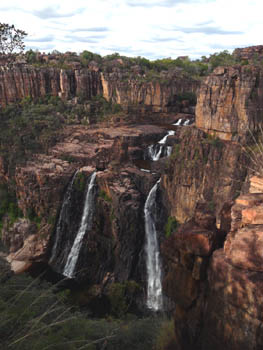
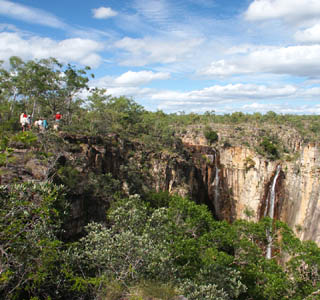
With the 4WD track still closed and crocodile surveys still taking place, we can't follow the marked trail and cross the creek below the falls. Our alternate route is more difficult but we are rewarded with full views of Twin Falls — views which can be obtained only by people on an overnight bushwalk.
From here, we drop down to the plains below the falls. It is slow and rough going, but the views make it worth while. Depending on the time we reach the bottom, we may camp near Twin Falls Creek or we may move a short distance west to the next creek.
The next day is normally the longest of the trek as we cross the plains below the escarpment before climbing back up and making our way to Surprise Falls. We can relax in the pools by the falls and enjoy magnificent views down the valley below.
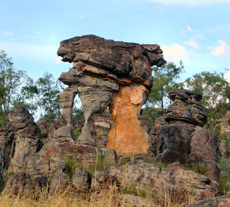
We remain on the plateau for the next several days as we head west through the largest patch of monsoon rainforest on the plateau, across the headwaters of one of the branches of Koolpin Creek, finally reaching the Graveside (Bilkbilkmi) system. Here, we find some of the strangest rock formations we encounter on our journey.
The photos here shows one of those rock formations and the main Graveside Falls. (It's about 80 metres tall.) At this time of year, both branches will be flowing. Later, the smaller one dries up. If time permits, we might drop our packs and go down for a swim in the pool below the falls.
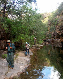
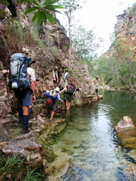
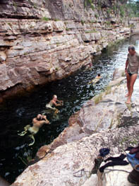
From Graveside, we take a cross country bearing and aim for the upper reaches of Cascades Creek, hitting it just above where it enters a four kilometre long gorge. Hiking down the gorge takes us across flat rock ledges, through thick forest, along some moderately difficult rock scrambles. It also takes us past a number of Aboriginal rock art sites, small waterfalls and pools that inevitably prove irresistible.
With so much to see and enjoy, the trek through the gorge normally takes us most of a day.
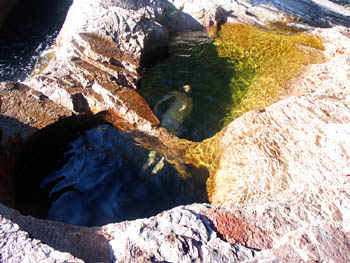
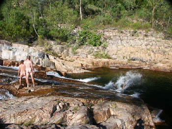
Finally, as we near the bottom of the gorge, we come to one of the most special places in Kakadu, the Cascades Creek water slide. Almost everyone who has been there has felt they had to have a go. Some have gone down the slide a dozen or more times. It's fun! (Imagine how the kids go on the last of our annual Kakadu family walks which goes here.)
Just downstream from the waterslide is another amazing little double pool where you can jump in, swim under a rock bar and pop out into the next one.
Bathers. Here's what we say in our Bushwalking Guide. "Out in a wilderness, away from the general public, many people prefer nude swimming. Willis's Walkabouts is neither in favour of nor opposed to this. Based on past experiences, most groups will consist of a mix of those who prefer to wear bathers and those who prefer to swim in the nude. Whichever you prefer, we ask you to be tolerant of those who prefer otherwise."
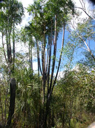
From the bottom of Cascades Creek, we hike across the main Graveside Valley to the base of Gronophylum Creek, so called for the strange Gronophylum palms which grow there. A normal Gronophylum palm grows straight up with a single trunk. Here we find a number of palms which have split as they have grown creating a multi-trunked tree. A photo of one of these is shown here.
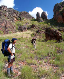
Moving on, we cross an open area covered in spinifex. the vegetation and rocks here are reminiscent of central Australia.
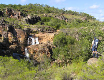
Moving further up the now, shady creek, we walk through forest and into the base of a small gorge. The waterfall at the end is impassable so we need to climb up and around, enjoying views like the one shown here.
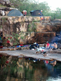
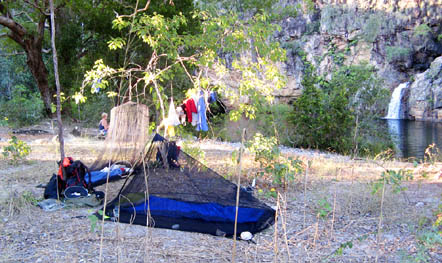
Gronophylum Creek is long enough so that we normally camp for two nights on the creek. The campsite here is well upstream of the waterfall shown in the photo in the last section.
Not far above the campsite, we leave the creek and head cross country to the upper reaches of one of the tributaries of Barramundi Creek.
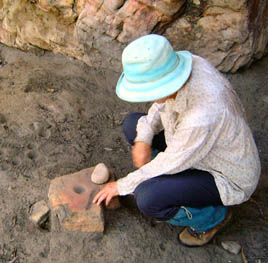
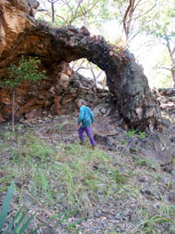
We camp there for a night, then continue our hike over the plateau and down to a huge pool and a magnificent campsite. Along the way, we pass this natural arch that must have been used as a wet season shelter by the local Aboriginal people over the millennia.
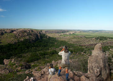
From our big pool campsite, we move one kilometre south across the valley and begin our climb to one of the high points between Barramundi and Waterfall Creeks. The views are magnificent.
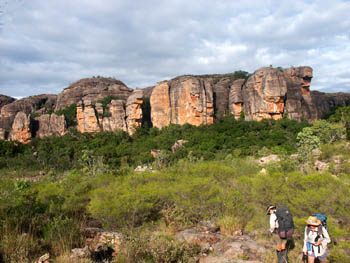
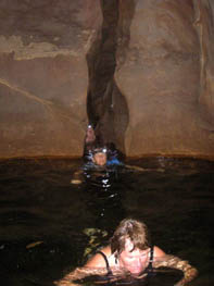
From the high point shown above, we drop down onto a small plateau where we meet the headwaters of Waterfall Creek where we find another patch of shady monsoon forest. Not long after we break into the open, we find a spot where the creek drops into a swim-through cave. Many people have said that this is their favourite place in Kakadu.
After those who want have had a swim, we head up a slight rise before dropping down to the broad plateau above Gunlom Falls. We camp near where the creek exits the rocky area. As was the case at the very beginning, this part of the walk takes us through Budjalang or Sickness Country, a very important area for the Aboriginal traditional owners.
Our final full day's walk takes us across the plateau and into the rocky area above Gunlom Falls, site of the waterfall scene in the original Crocodile Dundee movie. We spend one final night at a last private pool.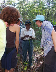
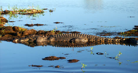
A short hike on the final morning brings us to the top of Gunlom. After a view out over the plains below, we follow the marked trail to the bottom where we meet the bus which takes us to the Cooinda resort. Late that afternoon we do a cultural walk with senior traditional owner Violet Lawson before a bistro meal at the pub and our first bed in three weeks. The following morning, we do a wetlands cruise on Yellow Waters. Unlike the areas where we walk, Yellow Waters is home to large crocodiles. The cruise is the best and safest way to give you a chance to see them.
After the cruise, we board the bus for the long drive back to Darwin.
Terrain and difficulty.
- This is one of the longest but most leisurely trips we offer in Kakadu. The schedule allows most groups to get into camp early or have long breaks during the day.
- However, once you start, you are in to the finish. There is no vehicular access anywhere along the route.
- Some sections of the walk are fairly flat and relatively easy. Others involve considerable rock hopping and are moderately difficult. There are a few steep climbs but these are short and over relatively quickly for most groups.
- Carrying all your food for ten days at a time means that your pack will be heavier than it would be on our shorter trips. For ideas on how to keep your pack as light as possible, se the article on Ultralight walking that appeared in our Newsletter 68.
- Except for the crocodiles on the Yellow Waters cruise, you are unlikely to see many large animals.
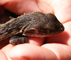
- If you keep your eyes open, small animals, particularly lizards, are everywhere. Most groups see few, if any, snakes.
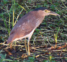
- One person counted over 100 species of birds, including those on Yellow Waters, on a single Kakadu Circle trip.
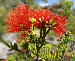
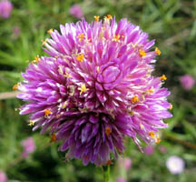
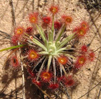
- As the land is still drying out, you should see the last of the wet season flowers as well as the first of the dry season ones.
Your rewards are waterfalls, wildflowers and an incredible Kakadu wilderness experience no other operator can offer you.
Anyone considering this trip needs to read our Kakadu Circle No. 1 detailed trip notes.
The map at the bottom of our Circle Trips page shows the relative locations of our four long circle routes and gives an indication of just how far you can get from vehicular tracks.
For more information about this trip or to find out how to book email us for Kakadu Circle No. 1 Information
 share
share