Kakadu & Top End
Baroalba — Hill 420 Circle
This page is out of date. It is still here because this site contains a variety of general information like our newsletters and our Covid Blog page which has not yet been uploaded to our new website.
For up to date information about specific trips, see our new mobile-friendly website.
March 4-17, 2018
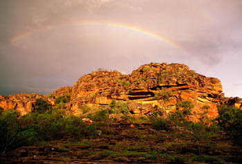
- Archaeologically important. An incredible wealth of Aboriginal art sites spanning the ages.
- Spectacular views. One of the most rugged landscapes in Kakadu and the highest point on the Arnhem Escarpment.
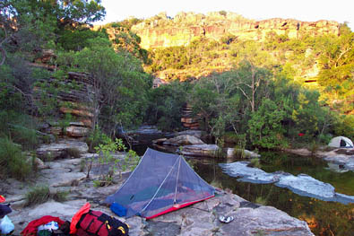
- Beautiful campsites. There are so many wonderful campsites that it's hard to pick a favourite.
- Our photos speak for themselves. As you scroll down this page, you should get a good idea of what is like to participate in this trek. All the photos were taken on our Baroalba wet season treks between 2003 and 2013.
Note. Click any photo to see a larger version. - Easy or Hard — Your Choice. Much of the walking is done with day packs. Some may choose to relax near a pool while others climb to one of the high points for yet another magnificent view.
Introduction
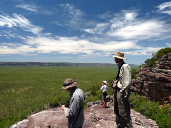
Baroalba Creek is the main drainage for Mount Brockman, a large, irregularly shaped massif sitting on the plains a few kilometres away from the edge of the Arnhem escarpment. Its maximum dimensions are about 11 kilometres east to west and 15 kilometres north to south. Its maximum height is about 300 metres above sea level, about 240 metres above the surrounding plain.
While the edges of the massif are extremely rugged and steep, much of the centre consists of a large basin drained by Baroalba Creek. The rugged nature of the approaches prevented buffalo from reaching the basin, making this one of the few undisturbed areas in Kakadu.
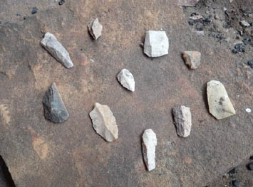
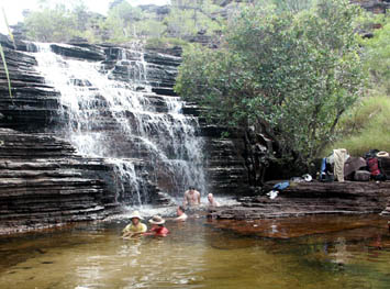
The area is full of rock shelters that were used by Aboriginal people over the millennia. It contains what may well be the greatest concentration of Aboriginal rock art in Australia, dating from the most ancient to the most recent. In deference to the wishes of the Aboriginal traditional owners, we do not show photos of the paintings on this website. We can, however, show you some of the discarded stone tools that litter the area. This was obviously a very important quarry for thousands of years.
The best time to visit this area is during or immediately after the wet season when every creek is flowing and the waterholes are all full.
Baroalba Creek and the Brockman Massif
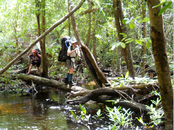
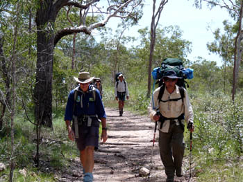
Our trek begins with an easy three kilometre hike along an old four wheel drive track to Gubara (Baroalba Springs) where we can enjoy a refreshing swim. From here, we leave all tracks behind. Depending on water levels and the wishes of the group, we may do a somewhat strenuous scramble up the boulder strewn creek or we may cross the creek and take a shortcut up another valley.
Our first campsite is usually only about three kilometres from Gubara Pools. If we arrive early, there are plenty of places for the energetic to climb up for an afternoon view.
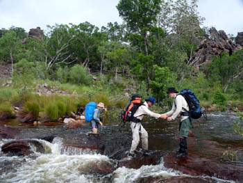
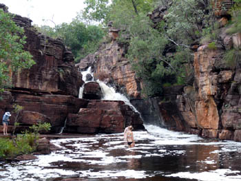
The first part of the next day is moderately difficult. We cross and recross the creek, our exact route determined by the water levels at the time. The lovely chute waterfall shown in the photo is always worth a stop. When water levels are very low, we can go up next to the falls. If they are a bit higher, there is an easy, but slightly longer, way around.
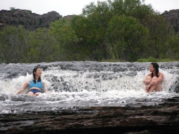
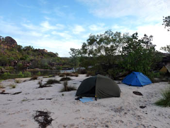
Once above the chute, the ground levels out and the walking becomes somewhat easier. We stop to visit art sites, photograph the flowers, climb up for views and relax by pools for swims as we work our way up to our second camp.
Occasionally, an ambitious group will decide to camp on a high point which offers magnificent 360° views. The climbs are fairly steep and we will need to carry water, but we can leave excess gear in rock shelters below so our packs will be as light as possible.
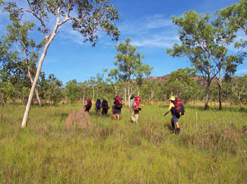
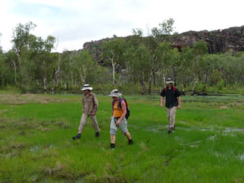
Now comes the easiest part of the trip. We camp here for two or even three nights, exploring the basin above with day packs. Here we find an incredible concentration of art sites as well as quarries containing the remains of discarded stone tools that didn't make the grade.
Much of the area is very flat. Sometimes it is very wet, sometimes it is relatively dry — relatively. This is still the wet season so water is everywhere.
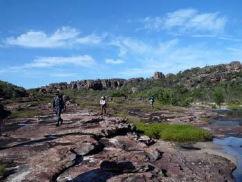
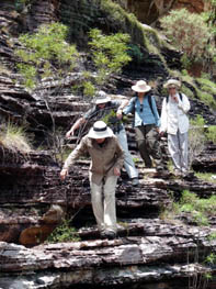
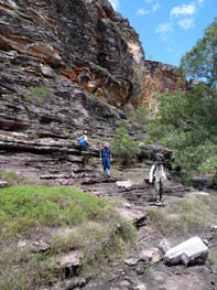
Sometimes we walk on flat rock ledges and sometimes we do some fairly steep climbs. The views are magnificent.
We can make the day walk or walks as easy or as energetic as the members of the group wish. While we won't let anyone wander off on their own, if a few people want to do something more strenuous than the rest and climb higher for a better view, they can do so.
Off Brockman and Across to Hill 420
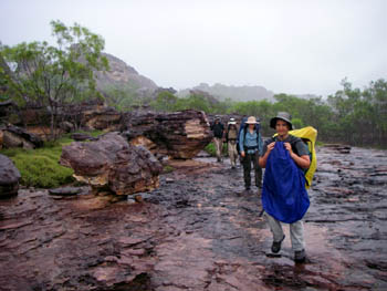
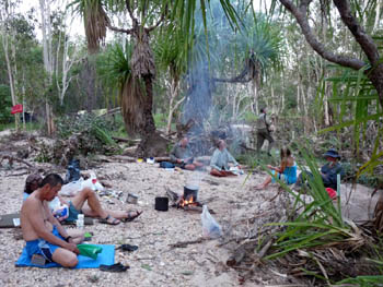
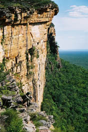
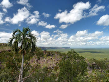
Finally, it is time for us to leave the Brockman massif. We continue upstream along the creek, then veer off to a relatively easy pass for the descent to the plains below. The scenic view photo in the introduction shows the view from the edge before our descent.
Once down, we hike across the valley separating the Brockman massif from the Arnhem Escarpment. At this time of year, we have our choice of numerous campsites. By the end of the dry season, all the water will have disappeared.
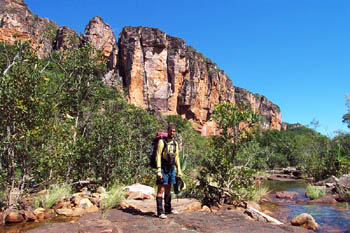
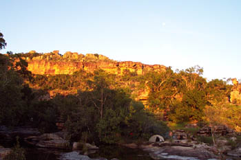
From the central valley, we continue east into another valley where we camp at the bottom of the creek which comes off Hill 420. There are several small waterfalls here, making it one of the most scenic campsites we have.
Hill 420 got it's name from the first good topo map which showed a 420 metre contour on the top. Later maps show it as only 411 metres, but the name stuck.
When we continue upstream, either on a day walk or overnight, we pass the magnificent cliffs on the photo shown here.
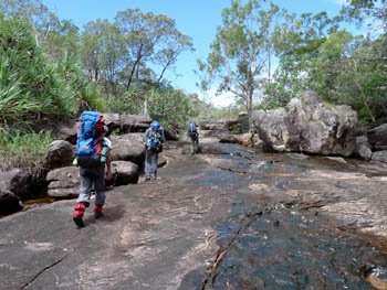
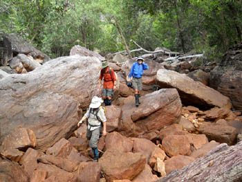
As we trek up the creek, sometimes the going is very easy, sometimes it's distinctly more difficult. In many places we can drop our packs and climb up for a view.
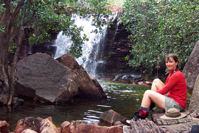
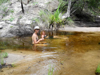
Water is everywhere. The waterfall shown here is on Hill 420 Creek. The small pool is somewhere high in the stone country that surrounds us. Both will disappear before the end of the dry season.
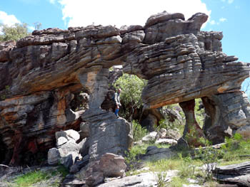
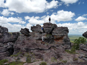
On most trips we will have at least one high camp from which we will be able to do some exploring without our full packs. The rock formations and views are fabulous.
Can you spot the people in three photos here? If you can't can't see at least one person in all three photos, click to see a larger version. Seeing the people should give you a better idea of scale.
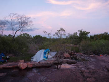
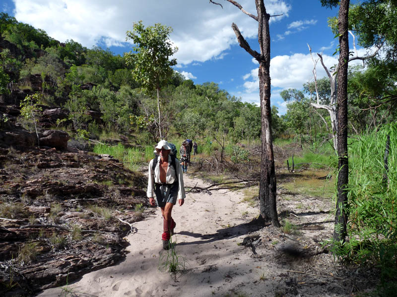
Once back down in the valley, we hike along below the escarpment for a bit before crossing over to the edge of the Brockman massif. Our final camp is in a flat area where a small creek flows into the plains, one more spot that will be dry later in the year.
We finish with a hike up and over a small pass and back down to join the track where we began.
Flora and Fauna
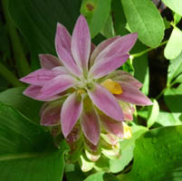
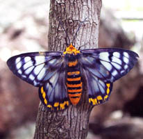
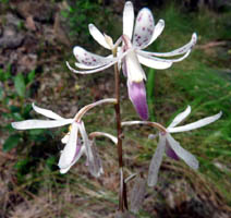
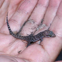
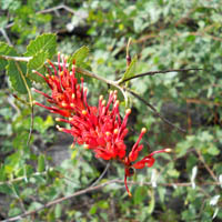
This is the best time of year for wildflowers. While you are unlikely to see many large animals, if you keep your eyes open, you will see lots of small ones.
Terrain and difficulty.
As the photos show, this trip includes some of easiest as well as some of the most rugged terrain in our entire program. The reasons it is only rated as level 3 are the leisurely pace and the fact that the most difficult climbs can be done without a full pack.
It is likely to rain during the trip. If you take part, you will get wet when it rains.
It will be hot. The average daily maximum temperature in March is 33°C (91°F). To avoid the worst of the heat, we plan to take long breaks near pools during the middle of the day whenever possible.
You are, however, not likely to get cold. The temperature is unlikely to go below about 21°C (70°F).
Once you start, you are in to the finish. There is no vehicular access anywhere along the route.
Most sections of the walk are fairly flat and relatively easy. Some, however, involve considerable rock hopping and are moderately difficult. There are a few steep climbs but these are short and over relatively quickly for most groups.
To take part you need good fitness, a sense of adventure and an interest in Aboriginal art and the natural landscape.
Your rewards include visits to an incredible number of Aboriginal art sites, spectacular views, great swimming and beautiful campsites shared with no one but your own small group, a Kakadu wilderness experience no other operator can offer you.
This is a wet season trip. More information about bushwalking in the wet season
Printable trip notes for the Baroalba - Hill 420 Circle
Read a story about our 2002 trip by a German girl along with some more photos
For more information about this trip or to find out how to book email us for Baroalba: Hill 420 Circle Information
 share
share