Kimberley
Kimberley Areas
Kimberley Areas: Bachsten Creek, the Charnley River and the Munja Track
Click on any image on this page to see a larger version.
The Charnley is one of the most spectacular but least accessible rivers in the Kimberley. The lower section flows through about 30 km of continuous gorge. There is a wealth of Aboriginal art in a variety of styles showing that this has been a special place for thousands of years. The information below should give you a good idea of what to expect on one of our trips to this amazing area.
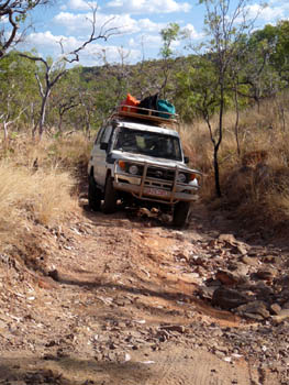
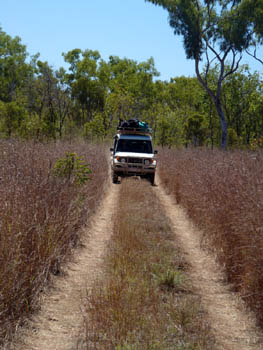
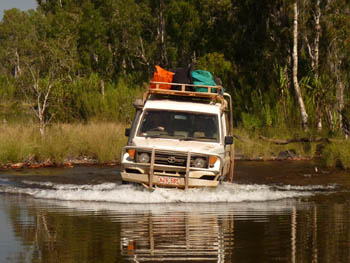
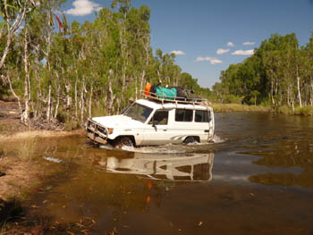
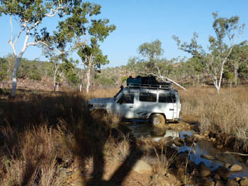
The rough, 220 km, four wheel drive Munja Track is a private road with limited access via Mount Elizabeth Station. This is the only practical access for Bachsten Creek and the best access for the Charnley River gorge. While some sections are flat and easy as shown at right, much of the track is relatively rough as shown at far right.
Before we even begin the track, we spend time exploring Wunnumurra Gorge and/or Warla (Hann river) Gorge. You can find out more about them on the Kimberley Australia Mt Elizabeth page.
Both the Gibb Road and the Munja track are too long a drive for a single driver so our vehicles are registered as self-drive hire cars where the driving is shared between the competent four wheel drivers in the group. The photos below show some of the more 'interesting' parts of the track. Note the mud on the wheels in the final photo. Parts of the track are boggy.
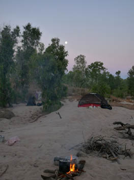
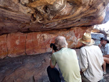
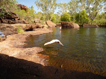
While the track is a long, slow drive, there are many points of interest and potential campsites along the way. This makes it easy for us to break up the drive in both directions. Short bushwalks, art sites, camp sites and swim stops — what more could you ask.
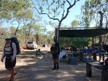
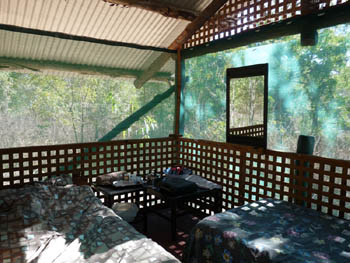
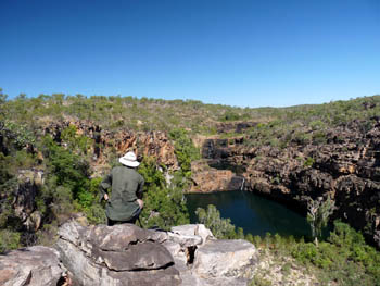
After about 140 km, we reach the turn to Bachsten Camp. One kilometre further, we reach the camp where we leave our vehicles and begin a six day walk exploring the two branches of Bachsten Creek. Four wheel drivers can enjoy the cool drinks and beds at the camp — as we do at the end of our walk. They have only a short walk to visit the main Bachsten Falls. But as good as that may be, they miss the best parts which can be visited only on a multi-day bushwalk.
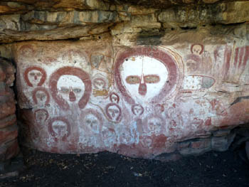
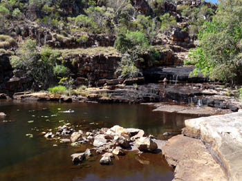
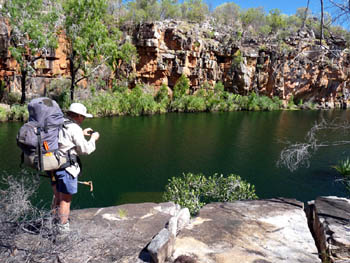
Bachsten Creek has two main branches, both of which have good waterfalls and pools. As well as the beautiful gorges, we visit a number of Aboriginal art sites on our trek. This walk makes a good way to ease ourselves into the long walk that is to come. We normally spend our final night at Bachsten Camp where we can enjoy a cool drink and a hot shower before moving on the next morning.
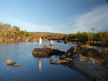
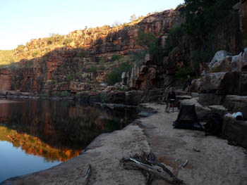
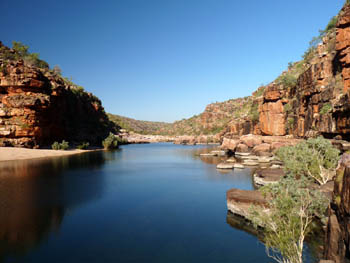
From Bachsten Camp, it is about another 60 km to the Brockman River where we leave our vehicles and begin the major trek. From the vehicles, it is only a couple of km to our first campsite on the Calder river where we have the choice of relaxing, fishing or exploring further downstream.
The next day is the longest of the trip as we do a traverse between the lower Calder and lower Charnley rivers. With relatively rough terrain and no track to follow, we never follow the exact same path on any two trips. Eventually we reach the Charnley and our campsite. Time to relax and perhaps try a bit more fishing.
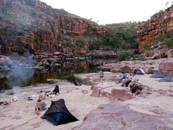
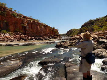
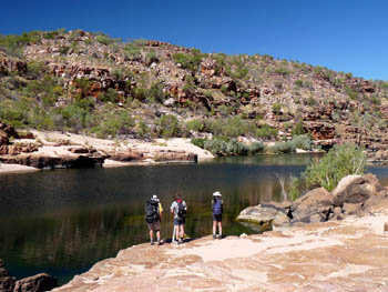
One of the best things about this trek is that there are so many side walks we can do without carrying a full pack. Depending on where we camp the first night, we may or may not shift camp a short distance before dropping our packs and walking down to where the Charnley River empties into Walcott Inlet. The photos here show a bit of that walk, the tidal rapids where the river meets the inlet and our second Charnley camp in 2009.
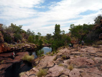
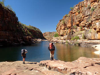
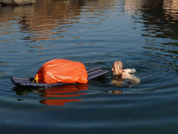
Over the next five or six days, we work our way slowly up the Charnley, stopping to explore some of its tributaries along the way. We might even decide that a pack float would be easier than carrying our packs around some pools.
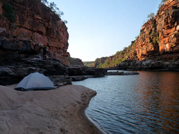
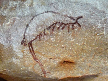
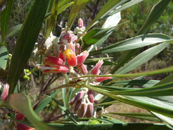
As we continue upstream, we stop to enjoy the flowers, visit the Aboriginal art sites and relax in a great campsite every night.
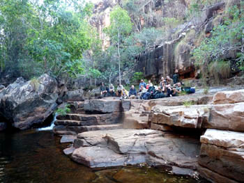
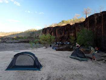
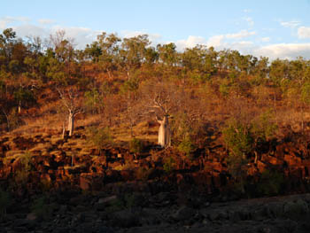
On the second last day of the trek, we leave the Charnley and head roughly north up a small gorge, camping somewhere near the top. On the final full day, we walk back to the Calder River and camp about an hour's walk from our vehicles. Then, the walk is over and we begin the long drive back to civilisation.
All of the photos on this page were taken on our 2009 trip. If you would like to see a few photos from earlier trips, please have a look at our original Charnley-Munja Photo Gallery.<.p>
Grant Dixon, a photographer based in Tasmania, came on our 2009 trip. Many of the photos on his Western Australia Gallery pages were taken on that trip.
Note. If you are thinking of coming on the trip or even if you just want to know more about what it is like, please read the Charnley-Bachsten detailed trip notes
Willis's Walkabouts, 12 Carrington Street, Millner NT 0810, Australia walkabout@bushwalkingholidays.com.au
Last Modified Tuesday, 25-Feb-2020 08:17:20 EST | Valid XHTML1.0
 share
share