Kimberley
Kimberley Areas
Western Drysdale River National Park
Click any image to see a larger version. Hold your cursor over the image to see a caption.
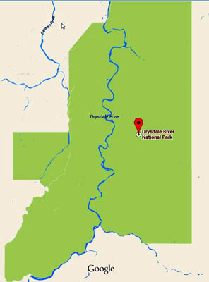
Drysdale River is the largest and least accessible national park in the Kimberley. The map at right shows the park. The Drysdale River runs through the centre. Almost all of the few people who visit spend most of their time on or near the river. When Theda Station was closed to the public in about 2000, the few who would have visited the part that sticks out to the west lost their best access. Now almost no one visits that area.
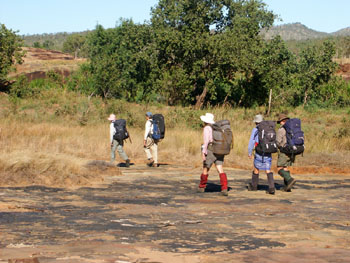
It is possible to use helicopters to get in but helicopters are very expensive. Our answer is to use a float plane to land on the Drysdale River, walk across to the western area, explore the most interesting parts and walk back to the Drysdale for a float plane pick up.
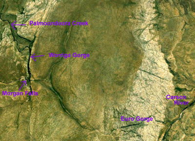
The Google Earth image at left isn't good enough to give you a real picture of the area but it is good enough to give you an idea of what it is like. Morgan Falls is on Palmoondoora Creek. Below the falls, Palmoondoora flows through Worriga Gorge. Further west another creek cuts through Euro Gorge before reaching the Carson River. Our loop will take us through all of these.
Unless otherwise specified, the photos which follow are scans of slides taken on a trip in July 1999. While the quality is not as good as newer digital images, they should give you a good idea of what to expect if you visit this area.
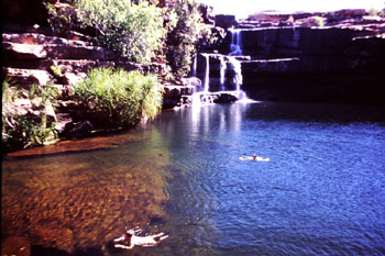
Morgan Falls
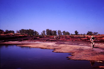
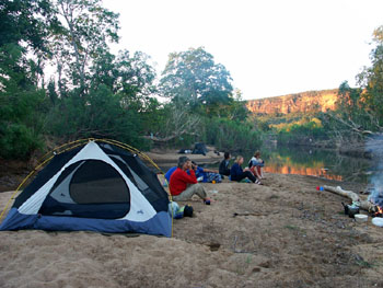
The pictures of Morgan Falls don't do it justice. The flat rock ledges make a magnificent campsite. The pools make for wonderful swims.
Worriga Gorge
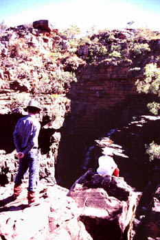
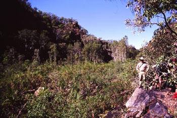
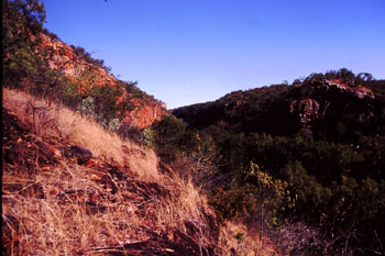
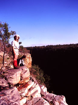
While Worriga Gorge offers some spectacular views, it is choked with thick scrub. On our 1999 trip, we explored the gorge on a day walk, then continued downstream over the top to the end of the gorge. This made the walking much easier.
Euro Gorge
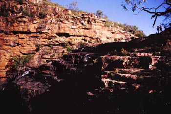
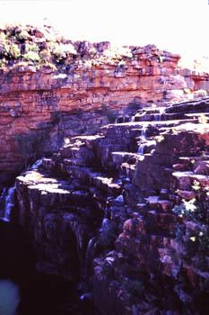
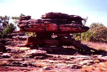
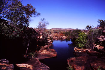
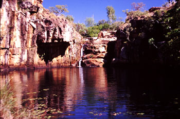
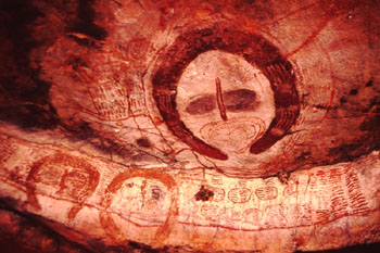
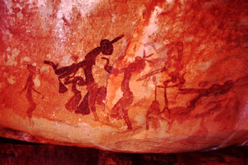
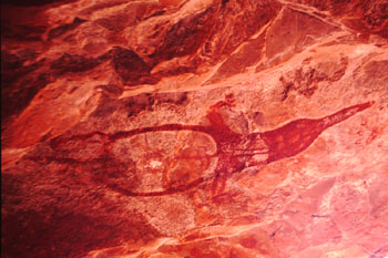
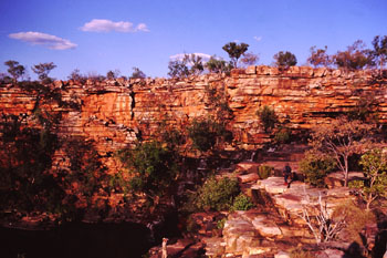
The terrain between Euro Gorge and Morgan Falls is relatively flat and easy going. There is a great pool, small waterfall and a decent campsite at the top of the gorge. Rock formations like the one below can be found throughout much of the western part of Drysdale River National Park. Many of these outcrops have Aboriginal paintings.
Aboriginal Rock Art
The area is full of Aboriginal rock art in a variety of styles. A good part of any trip to Drysdale River consists of visiting Aboriginal art sites. The pictures below give you a small taste of what you may se on a trip to the western part of the park. If you would like more information about Kimberley rock art, have a look at the Kimberley Foundation page. This page links to several pages offering more detail about the different styles.
Palmoondoora Creek and Tributaries
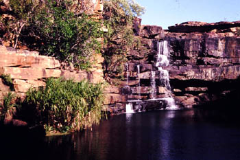
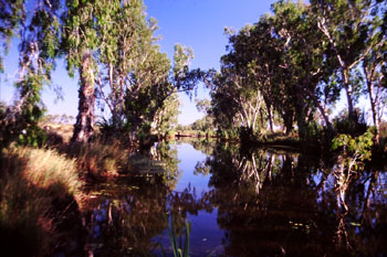
Walking along the lower Palmoondoora and its tributaries is fairly easy and offers some terrific scenery. the three photos below show some of the easiest walking of the trip along Palmoondoora, a large Palmoondoora pool and a nice waterfall on one of Palmoondoora's tributaries — it made a great campsite.
Carson River and Escarpment
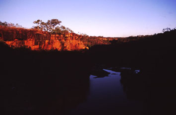
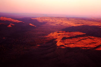
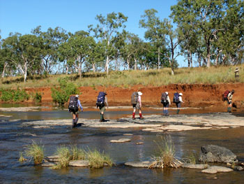
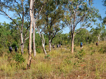
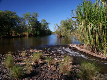
The Carson Escarpment is one of the major geological features in the region. We will have to come down it on our way over and back on our way back to the pick up on the Drysdale River. The aerial photo was taken on our flight in to Theda Station in 1999. The other photos were taken on a June 2004 trip where we walked along the Carson River for two and a half days.
A final thought. In some years, this magnificent area is visited by no one at all. Why not join us and see what the masses miss.
 share
share