Red Centre or Green
This page is out of date. It is still here because this site contains a variety of general information like our newsletters and our Covid Blog page which has not yet been uploaded to our new website.
For up to date information about specific trips, see our new mobile-friendly website.
In some exceptional years, such as 2010, the Red Centre turns green with new growth, waterholes fill and the land becomes carpeted in wildflowers. Years like these are exceptionally good times to visit. The photos on this page should give you some idea of the amazing difference. Although almost all of our "green" photos are mediocre scans of old slides, you should still be able to get an idea of what it's like.
Click on any photo to see a larger version.
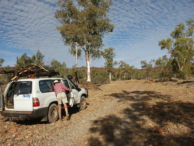
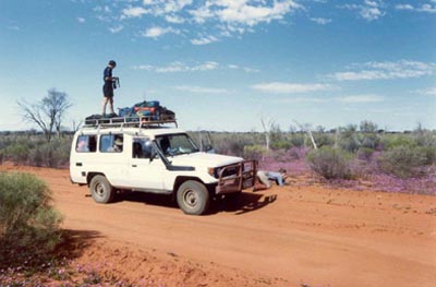
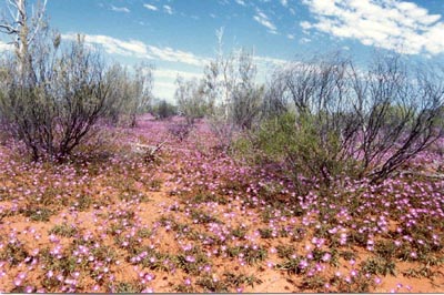
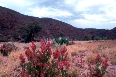
The photo at left above shows a vehicle on the Boggy Hole track in Finke Gorge National Park in August 2008, a dry year. The one at right shows a vehicle on the same track in September 1992, a year where there were good early rains. The two photos below show some of the flowers we saw on the 1992 trip, daisies on the left, ruby dock on the right. None of these were present in 2008.
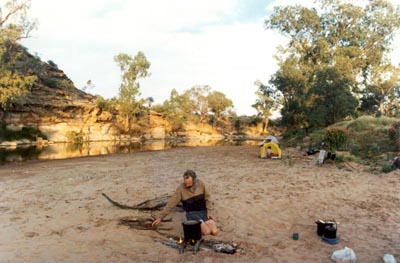
The photo at left shows a waterhole on the Finke River where we camped in September 1991.
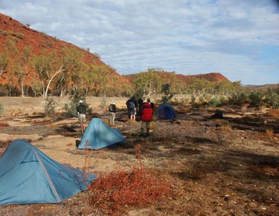
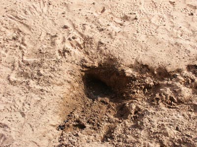
The photo below left shows where we camped in August 2008, looking back towards our 1991 campsite. The photo below right shows all that was left of the waterhole at left — a small soak dug out by the local kangaroos. The footprints next to it show just how small it was.
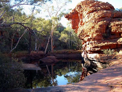
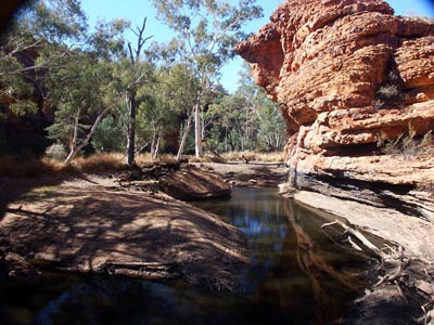
Even the largest, permanent waterholes show major changes over time. The two photos below show the same waterhole on Reedy Creek in Watarrka National Park. The one at left was taken in July 2003; the one at right in August 2008 after a prolonged drought. note the dramatic drop in water level, even in a shady, sheltered gorge like this one.
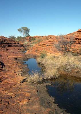
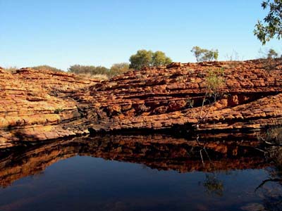
All our Watarrka walks visit Back Canyon, a spectacular spot on the north side of the George Gill Range. The photos at right show pools above Back Canyon in July 2003, a wet year.
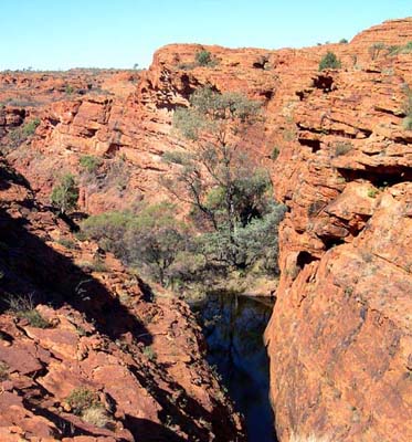
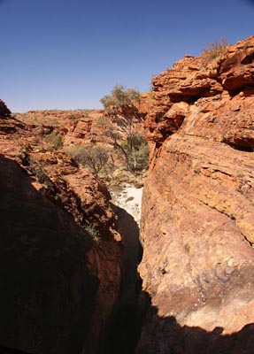
With so much water above Back Canyon, there was a good pool in Back Canyon itself (photo at far left). Five years later, it was a different story — the pools had all completely disappeared.
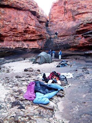
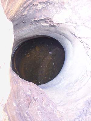
Fortunately, we know where to look for water, even in dry years. The photos at right show our campsite and the small, hidden waterhole from which we took our water.
All our Watarrka trips spend the first two nights on the upper reaches of Kings Creek. The two photos below show our campsites in 2008, a dry year. In both cases, we were able to obtain water from small pools nearby.
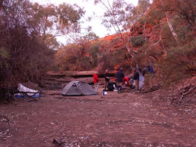
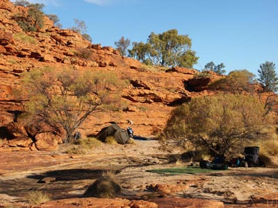
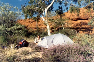
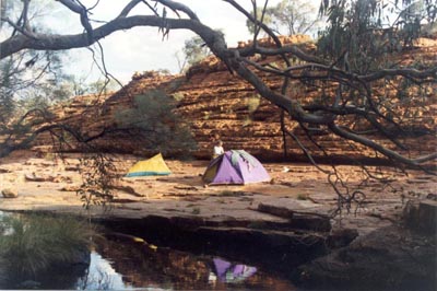
Those campsites were nice enough and allowed us to explore some spectacular scenery. Campsites in wet years, however, are something special. The photos below were of our first two campsites on Kings Creek in September 1991, a wet year.
If you want to see what kind of year it's been, go to the Australian Bureau of Meteorology NT page and click on A for Alice Springs or W for Watarrka. This gives you details of the past 13 months of rain fall. If you are not sure how the recent rain compares with the average, go to the Met Bureau NT averages page and click on Alice Springs Airport and/or Watarrka.
The Met Bureau rainfall charts are another good source of information. As of the beginning of May 2010, they showed that the areas where we walk had received very much above average rainfall for the past six months. This is in stark contrast to the well below average rain for the previous 5 or 6 years.
 share
share