Kimberley & Pilbara
Karijini National Park
April 5-18, 2020
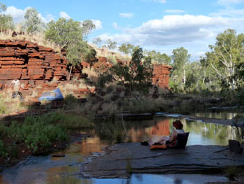
- A Bushwalking Tour. We take you far beyond the marked tracks and deep into the park.
- Enjoy incredible gorges that non-walkers will never see.
- A wonderful variety of landscapes: pools, gorges, spectacular cliff top views and more.
- Beautiful pools and campsites you share with no one but your walking companions.
- Day walks. While you need to carry full packs on most days, there are normally four or five days where you only need a day pack.
- Enjoy the swims. At this time of year, there is more water flowing and it's much warmer than in June and July.
- Want cooler weather? Join our June bushwalking trip which follows the same itinerary.
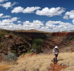
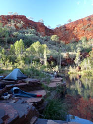
- The photos here will give you a good idea what it's like. Click on any photo to see a larger version.
Section 1: Munjina to Dales Gorge: April 5-11
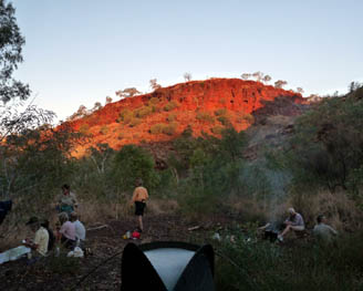
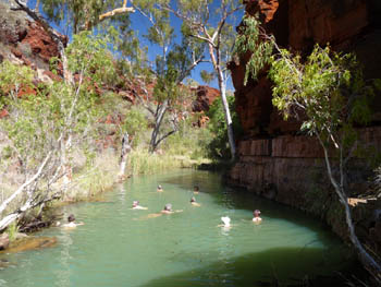
We begin with a drive from Tom Price to near where Munjina Creek crosses the Great Northern Highway. We don our packs and hike down into the gorge. In less than an hour, we reach the first pool — time for a swim.
There are a few ups and downs as we continue along the gorge but it's not long before we reach our home for the next two nights. Needless to say, there is water nearby.
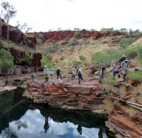
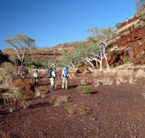
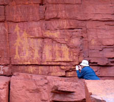
The next day is our first day walk. One of the interesting Munjina tributaries is well worth exploring. Good scenery, swimming (except in a really dry year) and even some Aboriginal art. Most of the walk is fairly flat — sometimes on rock slabs, sometimes on the gravel river bed. There are, however, a few minor climbs which give us some good views.
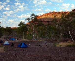
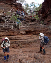
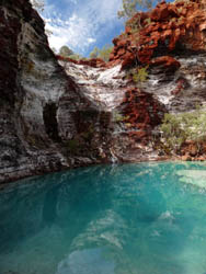
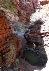
Now it's time for us to put on our main packs again. We hike up one small valley onto a plateau where we trek across to the top of a small gorge. Descent here is impossible so we follow the top of the gorge for a few hundred metres before a steep descent (the steepest of the trip), to the bottom of the gorge below. We drop our packs, and hike upstream a short distance to the blue pool shown in the photo.
After a swim stop there, we return to our packs and hike down the gorge and out to Dales Creek. In a wet year, we might camp near where our small gorge opens into the much larger Dales Gorge. In a dry year we move downstream about a kilometre to Wingermoonther Pool, one of the few permanent waterholes on this section of the creek. Even if we don't camp there, we'll almost certainly wander down for a visit.
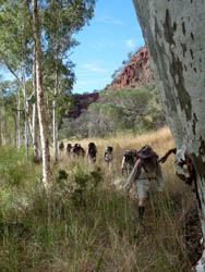
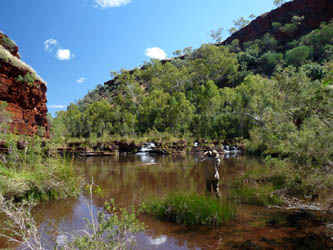
Karijini National Park has a strange boundary as it was drawn to exclude all of the best of the possible iron ore deposits. While we have been close to the park since we began our trek, it is only now that we actually enter the park as we hike along Dales Creek through Dales Gorge.
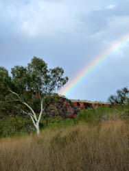
Here, near the water, the grass is thicker and the walking is somewhat slower. We drop packs again and again, sometimes to climb up for a view, sometimes for yet another swim. On our 2009 trip, we had a spit of rain which produced the rainbow shown in the photo. We often camp near the bottom of Dignam Gorge and spend half a day exploring it without our packs.
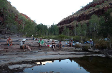
On our last full day on this section, we shift camp to near the top of Dales Gorge. We drop our packs and head off to join the marked walking trails that take us to Circular Pool and Fortescue Falls. They may be on the tourist route, but they are well worth seeing.
On the final morning, a short walk brings us to the top of the gorge where we meet the bus that brings in our food drop and takes us to the start of our second walk.
Section 2: Kalamina to Weano: April 11-18
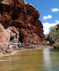
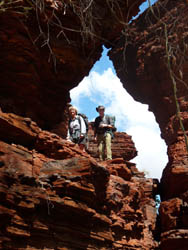
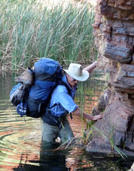
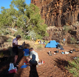
After a brief stop at the Karijini Visitor Centre, we are driven to the head of Kalamina Gorge where we begin our second trek. We follow the marked trail to the bottom of the falls, then leave all tracks behind as we head down through the gorge.
The terrain varies as we hike down the gorge — flat rock ledges, small climbs and the occasional wade. Eventually we reach a point where a side creek joins and set up camp. We usually stay for two nights and do a day walk exploring the lower gorge and some of the side gorges that feed into it.
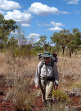
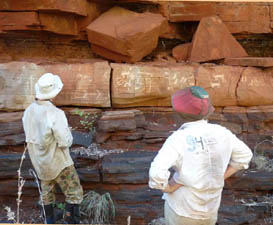
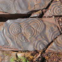
The next morning we put on our packs and begin our trek over to Knox Gorge. Not long after leaving our camp, we find the best art of the trip — two separate galleries of detailed petroglyphs. They are too interesting to pass by quickly so we spend a fair bit of time at each.
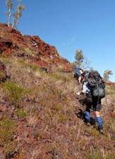
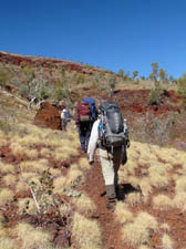
Then it's up and over. The first part is relatively flat, then we have to climb up a bit, then we hike across a plateau between the two gorges, finally dropping into the upper reaches of Knox Creek in the afternoon.
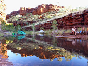
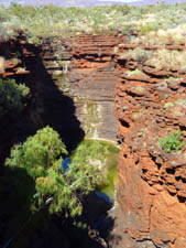
As we move down Knox Creek, we reach an area where springs suddenly produce a gentle flow of water. We spend two nights camped somewhere in the upper reaches of Knox Gorge.
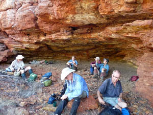
Years of bushwalking exploring and trying different options have allowed us to create the best possible day hike. We leave camp early in the morning and head toward the road, stopping en route to visit a largish rock shelter the walls and ceiling of which are covered in Aboriginal rock paintings. When we reach the road, we are met by a bus which takes us to Joffre Falls for a quick look before dropping us at the track to the bottom of Knox Gorge. Using that bus allows us to take our time as we explore Knox, going far beyond where the day tourists will ever go.
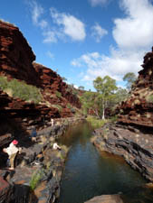
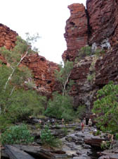
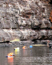
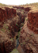
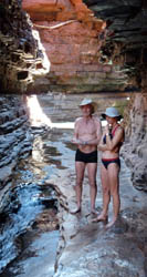
After a stop at the viewpoint above the gorge, we follow the marked trail down to the bottom. We have a good look, then move upstream. Continuing up the gorge is blocked by a wall to wall pool so we can swim as shown here or climb up and around.
Once above the big pool, hiking up the gorge becomes relatively easy as we work our way back to camp, stopping for yet another swim if some pool seems too good to pass by.
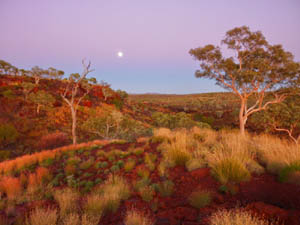
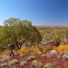
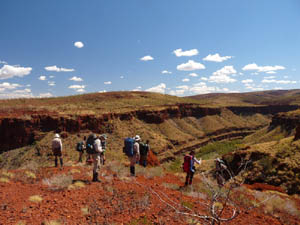
Our trek continues as we move from Knox to Wittenoom Gorge. The climb at the beginning is gentle. The descent at the end is fairly steep, slow but not particularly difficult.
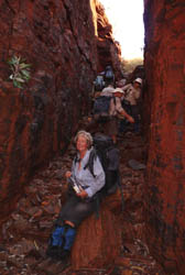
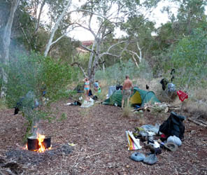
We camp in Wittenoom Gorge for two or even three nights, doing day walks exploring the area near us and the heavily visited Hancock and Weano Gorges.
On the final day, we climb out of the gorge and head for the Weano car park where we meet the bus which will take us back to Tom Price.
Terrain and Difficulty. As the photos on this page show, this trek has it all. Our bushwalk takes us through places where the going is flat and easy and through others which are rough and steep. Some are open and some covered with thick scrub. As the vegetation varies from year to year, we can't say how thick the scrub will be until we do the walk.
This is neither an exceptionally easy nor an exceptionally difficult walk. There will be plenty of time to stop and enjoy the spectacular scenery and pools along the way
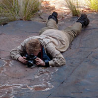
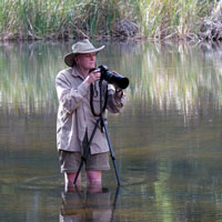
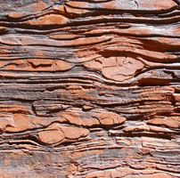
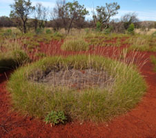
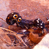
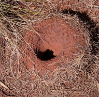
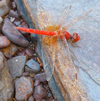
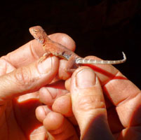
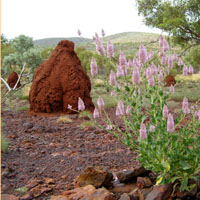
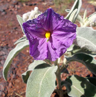
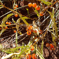
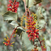
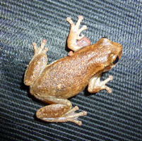
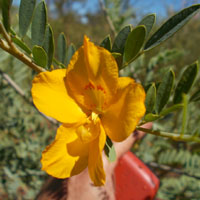
Flora, Fauna and Geology. There is always time for keen photographers to make the most of the scenery. Some years offer excellent wildflower displays, others less so, but there is always something in bloom. You are unlikely to see any big animals but there are lots of small ones if you keep your eyes open. The geology is as interesting on a small scale as it is on a large one.
More info? Many of the captions of the 15 photos below give interesting information about them. Hold your cursor over the photo to see the caption.
Join us and enjoy spectacular scenery without the tourist hordes you find at the easily accessible spots — an incredible wilderness experience no other operator can offer you.
Useful links for more information.
- April Karijini National Park detailed trip notes.
- Information about our June trip to Karijini — same itinerary, cooler temperatures and much cooler water temperatures.
- A gallery of photos from some of our earlier Karijini trips.
- Tracey Dixon's gallery from our 2009 trip.
- See more photos along with a story written by one of our clients on our 2002 trip. An abridged version of this article appeared in the Sunday Tasmanian.
- Our Pilbara General Information page. this has links to other good sites for additional information.
- For more information about this trip or to find out how to book email us for Karijini National Park Information
- Know someone else who might be interested? Use this link to Forward to a friend
 share
share